The Rise Of Drones In Real Estate
Drones have become a pivotal tool in the real estate sector, revolutionizing how properties are marketed and surveyed. Integrating aerial technology allows realtors to present listings from unique perspectives, creating visual content that attracts potential buyers. This sharpens the competitive edge for real estate professionals looking to differentiate their offerings.
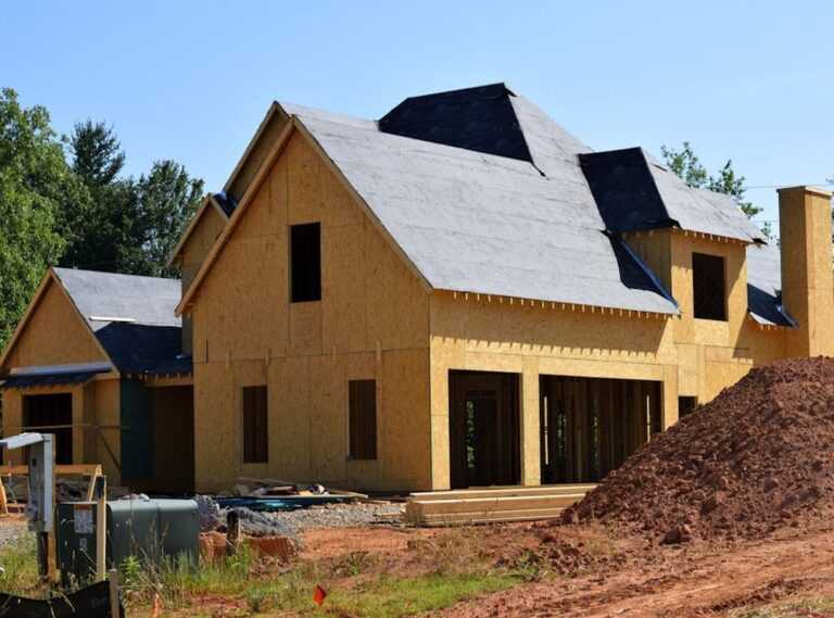
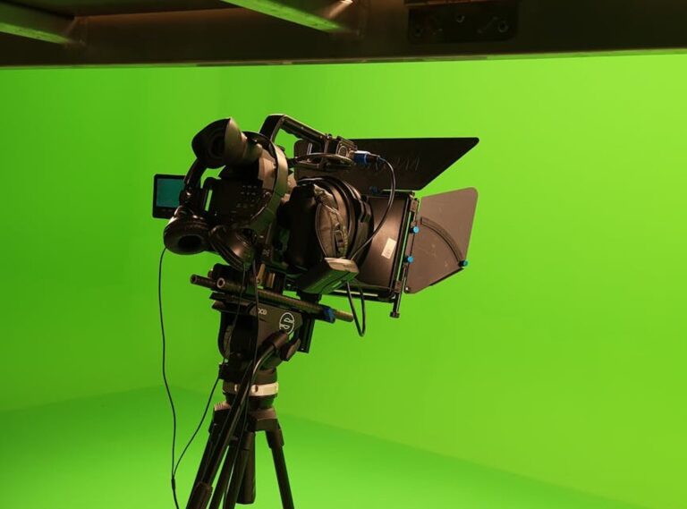
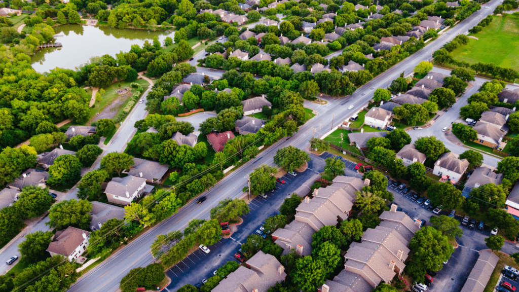
High-resolution cameras on drones deliver unparalleled imagery, capturing expansive views of properties, neighborhoods, and their surroundings. These images are essential for large estates, rural properties, or developments with hard-to-access terrains. Videos filmed by drones add further depth, offering dynamic walkthroughs that traditional photography can’t achieve.
Surveying processes have also seen significant improvements with drones. Equipped with sensors like LiDAR or infrared, drones provide precision data for topographic mapping, site analysis, and boundary identification. This not only reduces physical labor but also accelerates project timelines while minimizing errors.
Enhancing Property Marketing Through Aerial Views
Drones offer an elevated approach to property marketing. Aerial views produce captivating visuals that enhance listings and elevate buyer interest.
A New Perspective For Listings
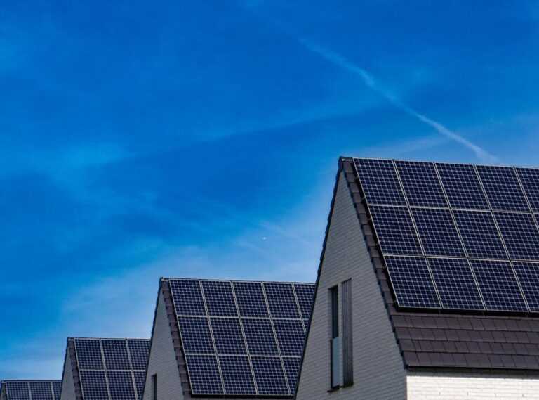
Aerial footage transforms how properties are presented. High-angle shots reveal spatial layouts, surroundings, and unique property elements. For example, expansive backyards, swimming pools, or panoramic landscapes become more appealing when captured from above. By showcasing proximity to amenities like parks or waterfronts, aerial views add contextual value to listings, helping buyers visualize lifestyle opportunities.
Capturing Attention With Stunning Visuals
Using drones, realtors deliver high-resolution imagery and videos that stand out. Vibrant aerial shots and cinematic walkthroughs engage buyers more effectively than static ground-level photos. Complex structures or extensive estates benefit greatly, as viewers gain a comprehensive understanding of the property’s scale and features. Additionally, dramatic showcase videos driven by drone footage make properties memorable in competitive markets.
Revolutionizing Real Estate Surveys
Drones are transforming real estate surveys by combining technological precision with operational speed. Their applications ensure accurate, cost-effective, and time-saving solutions for professionals in the industry.
Improved Accuracy And Efficiency
Drones equipped with advanced sensors, such as:
- LiDAR and high-resolution cameras
- capture precise measurements
- details
These tools enable three-dimensional mapping, topographic surveys, and property boundary identification without manual errors. I use drone surveys to provide detailed reports even in challenging terrains where traditional methods struggle. For example, drones can measure elevation changes, map large estates, or survey environmentally sensitive areas efficiently. Data from drone sensors improves overall planning and reduces project delays.
Cost-Effective Solutions For Surveying
Drone technology significantly reduces the costs associated with traditional surveying methods. Hiring survey crews, using heavy equipment, or conducting repetitive manual measurements increases expenses. By integrating drones, I streamline tasks like site assessments or boundary verification within hours instead of days, cutting labor and operational costs. For large properties or inaccessible locations, drones perform faster and require fewer resources, making them an economical choice for realtors and developers alike.
Benefits Of Using Drones In Real Estate
Drones offer unmatched advantages for marketing and surveying in real estate. Their ability to deliver dynamic visuals and precise data transforms how properties are showcased and evaluated.
Competitive Edge In The Market
- Using drones gives listings a unique advantage in crowded markets.
- High-resolution aerial photos and cinematic videos captivate buyers, showing properties from angles they wouldn’t usually see.
- Listings featuring drone imagery tend to receive more engagement, as they emphasize key features like nearby amenities, scenic views, and unique layouts.
This enhanced visual content makes properties stand out, increasing inquiries and speeding up sales.
Versatility Across Different Property Types
Drones adapt seamlessly to various property types, from residential homes to large commercial spaces. For luxury estates, aerial footage highlights expansive grounds, pools, and architectural details. In rural or hard-to-reach areas, drones efficiently capture terrain and access points. For urban developments, they showcase proximity to landmarks and infrastructure. This versatility ensures professionals can market all property types effectively.
Challenges And Considerations
The integration of drones into real estate operations introduces complexities alongside the benefits. These challenges demand attention to ensure drones are used effectively and responsibly.
Regulatory Compliance
Operating drones for real estate involves adhering to strict regulations. Federal Aviation Administration (FAA) rules, including Part 107 certification, govern commercial drone usage in the US. I must ensure proper licensing and follow guidelines on maximum altitudes, no-fly zones, and airspace restrictions. Local laws often add another layer of compliance, requiring awareness of regional variations. Privacy concerns also arise when capturing footage near residential areas, making it essential to respect homeowners’ rights and limit invasive data collection.
Technical Limitations And Training
Drones have technical constraints, such as limited battery life and susceptibility to weather. High winds and precipitation can hinder operations, especially for outdoor shoots. I rely on high-quality drones equipped with stable flight capabilities, but these devices come with steep costs. Effective use of drone technology also requires specialized training. Piloting, maintaining equipment, and utilizing features like LiDAR or 4K video recording require skill, which means investing in training programs to ensure safe and optimal use. Without proficiency, technical errors and image quality issues become significant risks.